Drone Imagery
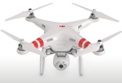 BRG utilizes video equipped unmanned aerial vehicles (UAV’s) also referred to as drones during some Reserve Study site visits to capture imagery. This quick and safe aerial capability significantly extends previously limited ground level imagery.
Reserve Study reports traditionally include photographs captured from standard handheld digital cameras. Oftentimes difficult to reach components including rooftops are not fully observable from ground level. The drone’s high-definition video capture overcomes these ground level limitations, and since drones move around quickly and unimpeded, a more complete observation is accomplished in less time.
BRG analysts respect privacy and wear brightly colored safety vests so that they are easily identifiable to homeowners. To the extent possible, BRG analysts avoid photographs of clearly identifiable individuals and other sensitive subjects.
Upon request, BRG will provide aerial video to clients free of charge.